 Loading... Please wait...
Popular Brands
Our Newsletter
 New Products
-
 $6,200.00
-
 $5,200.00
-
 $7,000.00
-
 $8,000.00
-
 $7,500.00
- Home
- GPS GNSS Systems
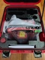
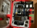
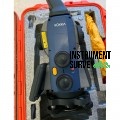
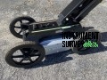
- Trimble R10 GNSS RTK RTN Rover

Product Description
WRITE A REVIEW